
Designing from the Ground Up: Understanding NYC's Urban Soils
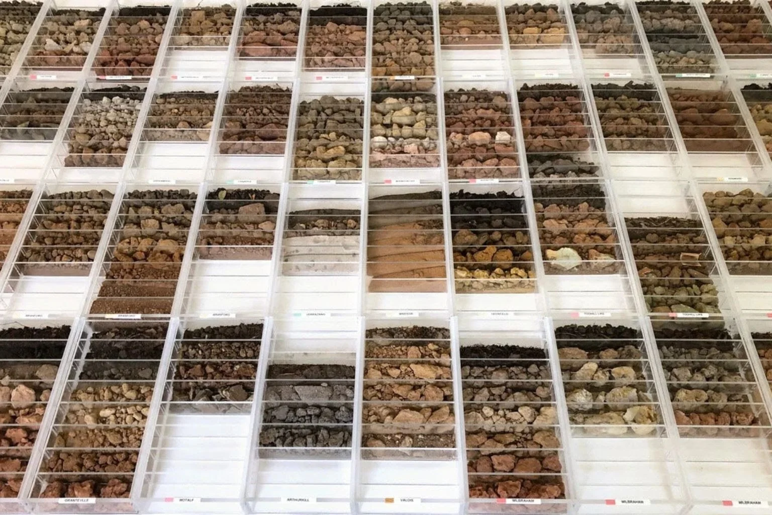
Photo Credit: “Soils Room” permanent installation at Swale House on Governor’s Island to experience the diversity of NYC’s soils. Installation of NRCS urban soil survey material by artist Margaret Boozer and soil scientist Richard K. Shaw, PhD; photo by Margaret Boozer
What the city's soil survey tells us about designing landscapes in NYC
New York City has been built, excavated, filled, and rebuilt for centuries. Beneath its streets, buildings, parks, and courtyards is a complex mix of natural soils and materials introduced through generations of development.
These conditions have a direct impact on landscape architecture. Soil influences which plants can thrive, how water moves through a site, and what is required to establish a landscape that performs well over time.
The New York City Soil Survey, developed by our neighbors at the Urban Soils Institute, documents the diversity of soils found throughout the five boroughs. It serves as a valuable resource for understanding the ground we work with before making design decisions.
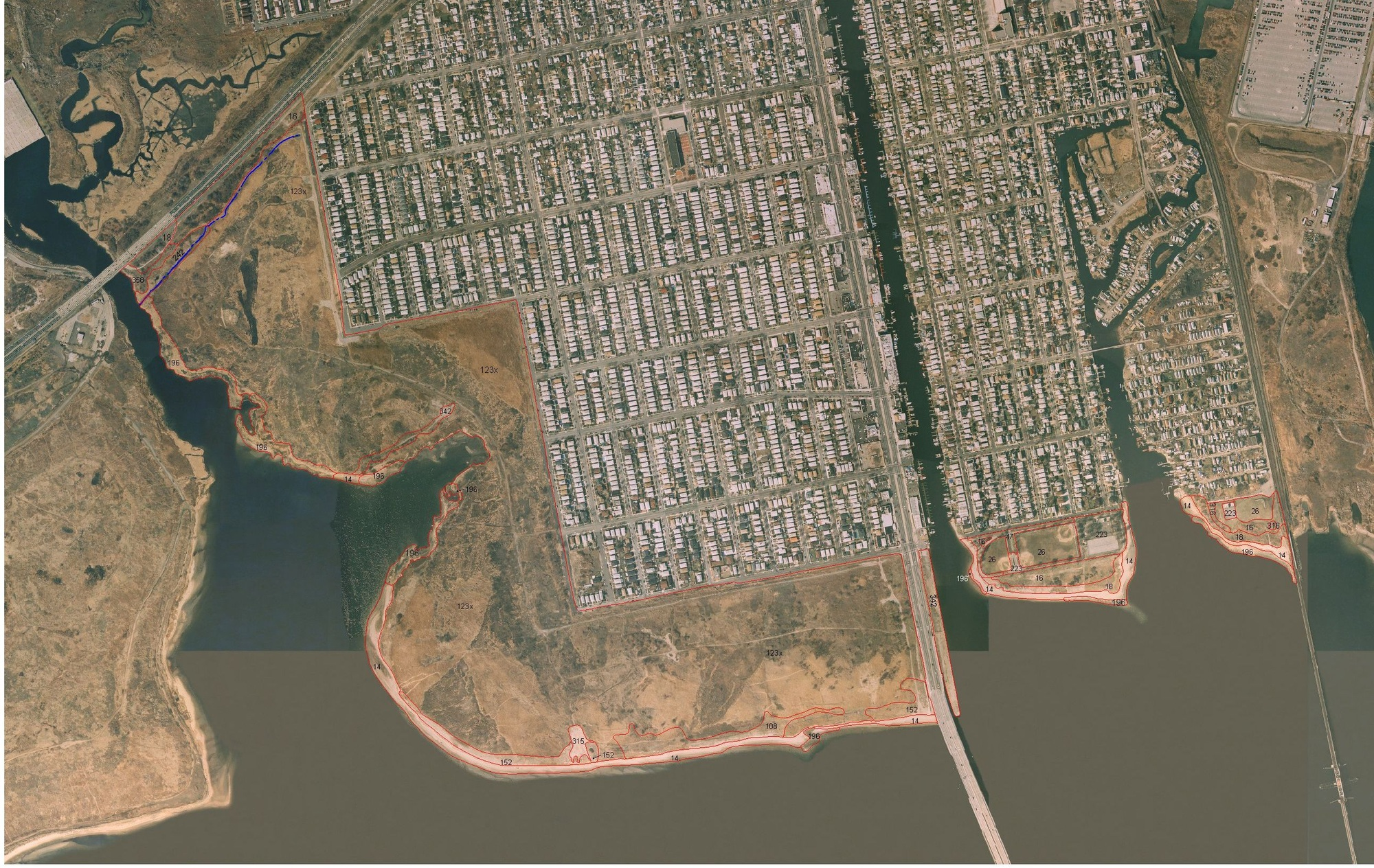
Aerial view of Jamaica Bay tributaries
A City with a Complex Soil History
New York City's soil conditions vary considerably, even between neighboring properties.
Some areas contain soils formed from natural glacial deposits, while others have been heavily altered by excavation, filling, construction, and redevelopment. Materials brought onto a site decades ago may still influence drainage, compaction, and planting conditions today.
The New York City Soil Survey identifies 70 soil series, including 32 associated with human-transported materials. This reflects just how much the city's development history has influenced the ground beneath it.
For landscape architects, this means that soil conditions should be evaluated rather than assumed. A site may appear suitable for planting at the surface while presenting challenges below, including compacted soils, restricted rooting space, or poor drainage.
Why Soil Dictates Landscape Design
Soil conditions influence decisions from early planning through construction and long-term maintenance.
Planting is a primary consideration. Trees, shrubs, and perennials require specific conditions for drainage, soil structure, and available rooting space. Pavement, underground utilities, and previous construction frequently complicate these conditions in urban settings. Understanding the existing soil helps determine appropriate species, identify necessary improvements, and design planting areas that support long-term growth.
Stormwater management is another critical factor. Soil characteristics dictate how quickly water infiltrates, where it collects, and whether a site can support green infrastructure strategies, such as rain gardens or planted stormwater systems. A design that functions perfectly in one location may require substantial modifications elsewhere due to differences in soil conditions or surrounding infrastructure.
Starting with the Site
The New York City Soil Survey provides detailed mapping that is highly useful during early site research. It helps identify potential soil conditions and highlights areas where further investigation is warranted.
However, a soil survey does not replace a physical assessment of site conditions. Urban sites change constantly, and previous construction often creates conditions that differ from broad mapping data. The survey provides a critical layer of information, best utilized alongside site observations, physical soil testing, and coordination with civil engineers.
At Bayview Landscape Architecture, we approach each project by evaluating the existing conditions—from vegetation and drainage patterns to surrounding infrastructure and soil characteristics. The New York City Soil Survey reinforces a core principle: we must understand a site's existing conditions before we design its landscape.
Explore the New York City Soil Survey from the Urban Soils Institute.